By Akash Yadav, AIDMI, India

Recently, AIDMI embarked on its data journey by releasing a report on the aftermath of Cyclone Michaung in Chennai. Based on our analysis, we found out that nearly every fatality that occurred in Chennai due to the cyclone was either within 1 km of a slum or a low-lying area. Insights like these have profound implications in our ability to anticipate and mitigate the adverse effects of climate-related extreme events by targeting scarce resources to places where they are most needed. Gearing up for the upcoming heatwave season, we are reminded that such an effort becomes even more critical since extremely hot temperatures will leave crores of Indians exposed in the upcoming months.
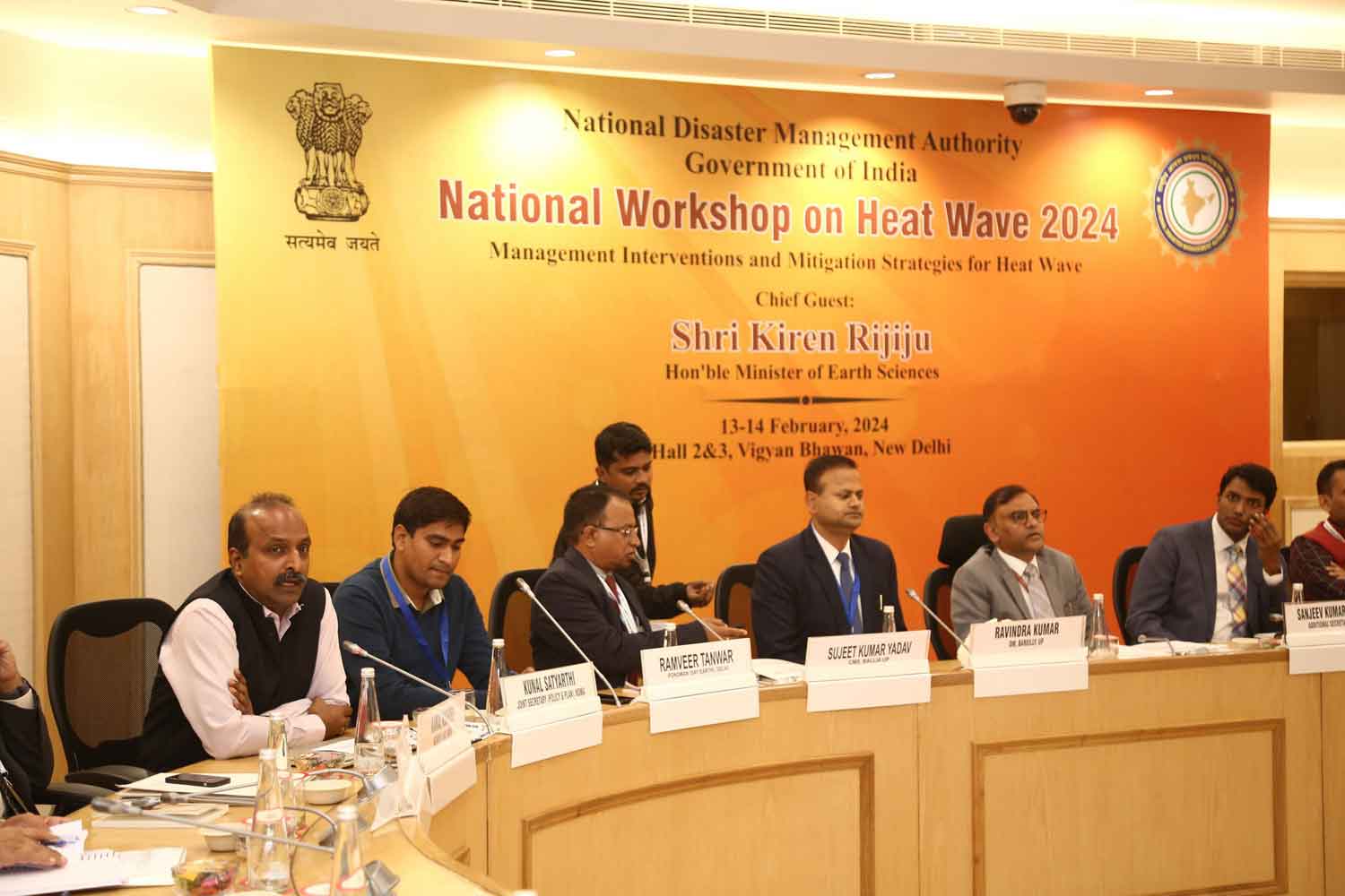
How do we then prepare to limit the mortality risk of heatwaves using data and data science? This was also a question posed by the National Disaster Management Authority (NDMA) in their 2-day workshop on Heatwaves in February 2024. Participants from a diverse range of backgrounds including urban planning, healthcare, civil society, academia and others came together to provide their insights. They highlighted the need for getting timely access to data on temperature and humidity to build precise early warning systems, map information on at-risk communities so that mitigation efforts can be localized, and collect data on morbidities and mortalities along with data on healthcare infrastructure such that resources can be effectively targeted and preparedness measures can be scaled.
Advancements in meteorological science now allow for the precise forecasting of temperatures, enabling authorities to accurately predict severe heatwave days. This precision in forecasting can facilitate the timely issuance of public alerts to prompt changes to work or school schedules and encourage the adoption of precautionary measures to mitigate heat-related risks. Incorporating satellite data, like Google’s Dynamic World maps to highlight real-time land use and land classification processes improves in the identification of areas at increased risk. Specifically, it helps pinpoint regions where high temperatures meet impervious surfaces, thereby highlighting urban heat islands. Understanding the mobility behavior of urban populations using GPS data from ad tech companies allows for the strategic placement of resources like water kiosks and cooling shelters, ensuring they are accessible to those most in need during critical times. The state of Andhra Pradesh’s deployment of a ‘Heat Wave Atlas’ and the establishment of automatic weather stations for real-time heat forecasts showcase the power of technology and data in enhancing preparedness for heatwave threats.
Despite the availability of advanced data and technology, navigating the complexities of accurately monitoring and responding to heatwaves remains a challenge. This challenge is partly due to the lack of a unified approach to understanding the myriad factors that influence vulnerability and mortality rates contributing to the difficulty in achieving a coordinated response among various governmental entities. India also encounters significant hurdles in precisely documenting and addressing the deaths caused by heatwaves, exacerbated by inconsistencies in data reporting by different governmental agencies. Recognizing these complexities, AIDMI and its partners are advocating for enhanced open data access, improved tools, and robust accountability frameworks. Such advancements would enable the full potential of data and data science to be harnessed in the fight against heatwaves throughout the country, fostering a more informed and effective approach to mitigating their impact.
Disclaimer: The views expressed in this piece are those of the author/s and do not necessarily reflect the views or policies of AIDMI.